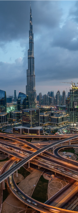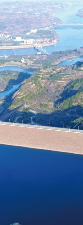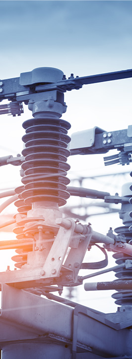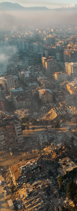
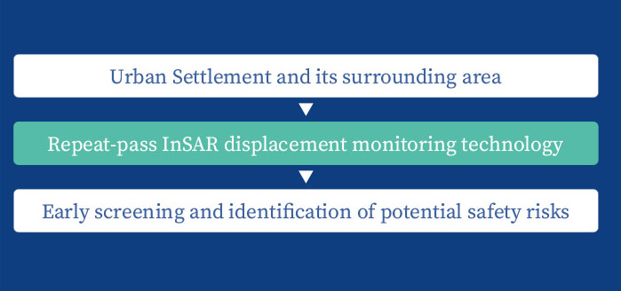
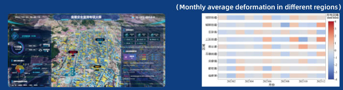
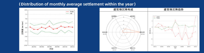
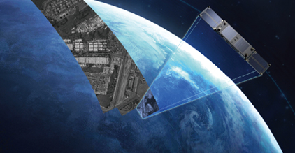
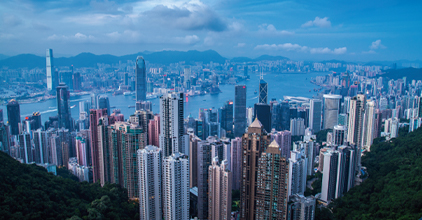
To address urban safety hazards such as buildings, airports, dams, power towers, bridges, subways, high-speed railways and highways, SAR satellites are used as data sources to provide global cities with InSAR data services. These services extract deformation, displacement, and other information of wide-area targets, obtaining millimeter-level subsidence deformation data of the Earth's surface and key targets, thereby achieving early warning of subsidence changes in target areas.
Click to Customized Satellite Product Click to SAR Satellite Product Click to SAR Data Product InSAR for Urban Infrastructure Safety Monitoring Solutions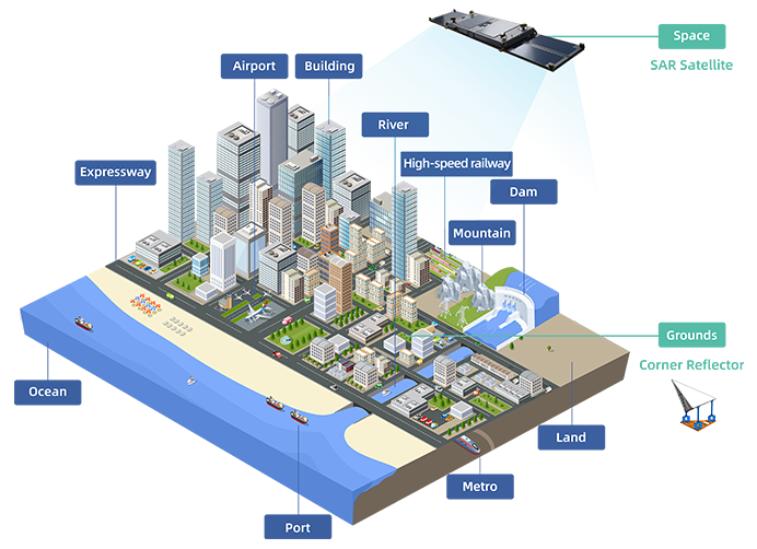


Day and Night24-hour monitoring

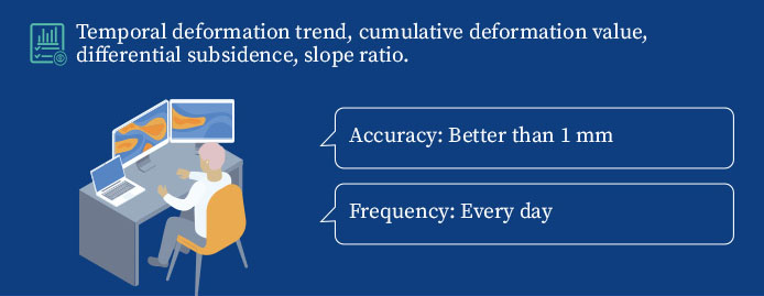
High-precisionmm level

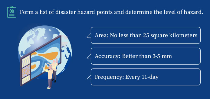
Wide Range625km²/Scene
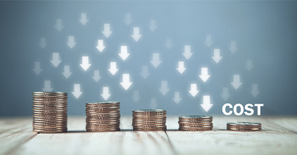

Low CostThousand yuan/km²

High-convenientNo need for ground sensors or manual intervention from the ground


IntelligentDeep learning, intelligent interpretation