• ・Earth remote sensing Imaging modes includes stripmap, scan, and spotlight
  • ・Capable of consecutive imaging of multiple targets in an area
  • ・Capable of orbit maneuvers
  • ・Capable of on-orbit software reprogramming
  • ・Capable of on-orbit radiometric calibration
  • ・Capable of independent image processing on satellite (optional)
  • ・Capable of differential interferometry SAR imaging (optional)
  • ・Capable of repeat-pass interferometry SAR imaging (optional)
  • ・Capable of target recognition (optional)

Technical Parameters

SAR Satellite Remote Sensing Data Parameters

Satellite Operation Service Capabilities

Data delivery guaranteed through multiple ground stations

No more than 1 hour from task request submission to feedback on planning results

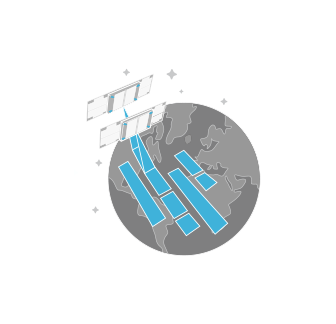
As fast as 4 hours from imaging to delivery

No more than 0.5 hours from data downlink to image generation